
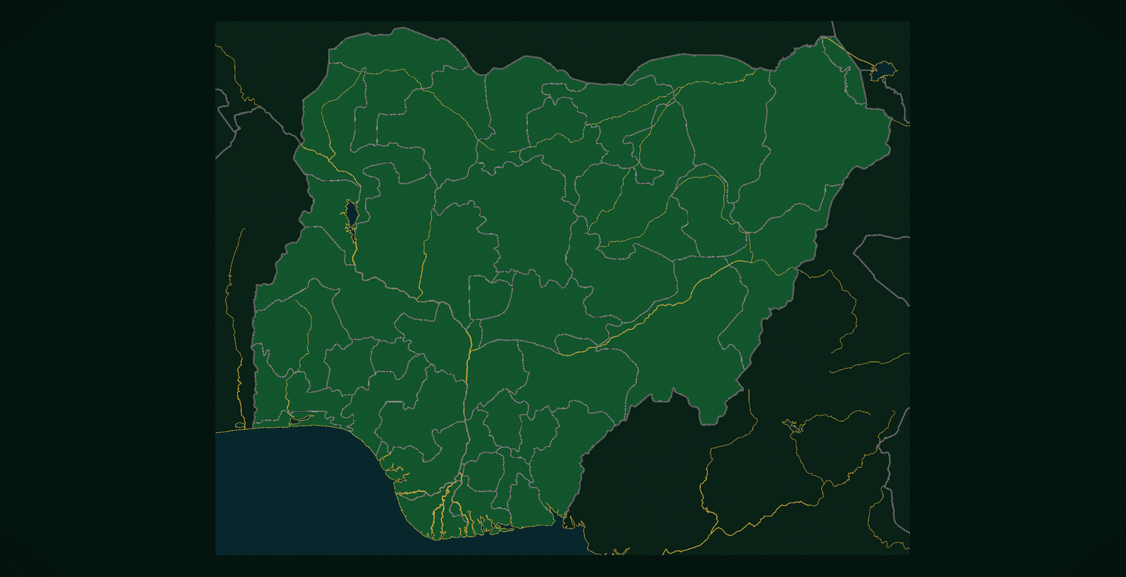
Independence Nigeria was first organised as large regions. Military governments later split those regions into twelve states in 1967, then more, until the 1996 creations brought the familiar 36-state map plus the Federal Capital Territory.
Each new line on the map created a capital, a civil service, and a new stage for local identity. That is why Nigerian Heritage Collections tells the country state by state: the units people actually live in, cheer for, and miss when they are abroad.